Initializing, please wait a moment
How to Use Mars Terrain Explorer
Load the page, wait for the real elevation data to download, then stretch the relief slider and click the globe for a real elevation reading.
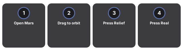
- Open Mars Terrain Explorer and wait for the placeholder sphere to become the real Mars terrain.
- Drag to orbit the globe; keep the facts panel visible.
- Press Relief + a few times and watch Olympus Mons rise and Hellas Planitia sink.
- Press Real scale to see how flat Mars actually is at true proportion.
- Click anywhere on the globe to read the real elevation at that point.
Why trust these tools
- Ten-plus years of web tooling. The freetoolonline editorial team has shipped browser-based utilities since 2015. The goal has never changed: get you to a working output fast, without an install.
- No install, no sign-up. Open a tool and get a working output in seconds - nothing to download and no account to create. Tools that need heavy processing run it on our service, so even a low-powered machine gets the job done.
- Analytics stops at the page view. We measure which pages get visited, not what you type or upload inside a tool. There is nothing to sign in to and no profile is attached to your input.
- Open-source core components. The processing engines underneath (libheif, libde265, pdf-lib, terser, clean-css, ffmpeg.wasm, and others) are public and audit-able. We link to each one in its tool page's footer.
- Free, with or without ads. All tools are fully functional without sign-up. The Disable Ads button in the header is always available if you need a distraction-free run.